Vehicle Tracker GPS Systems & RTK Products
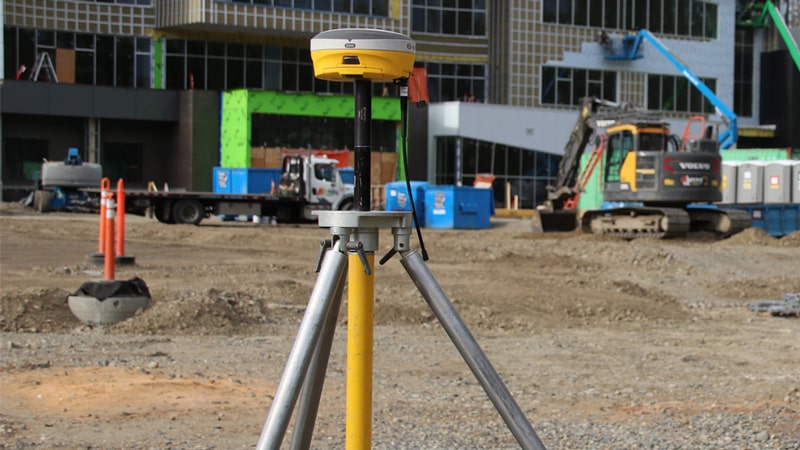
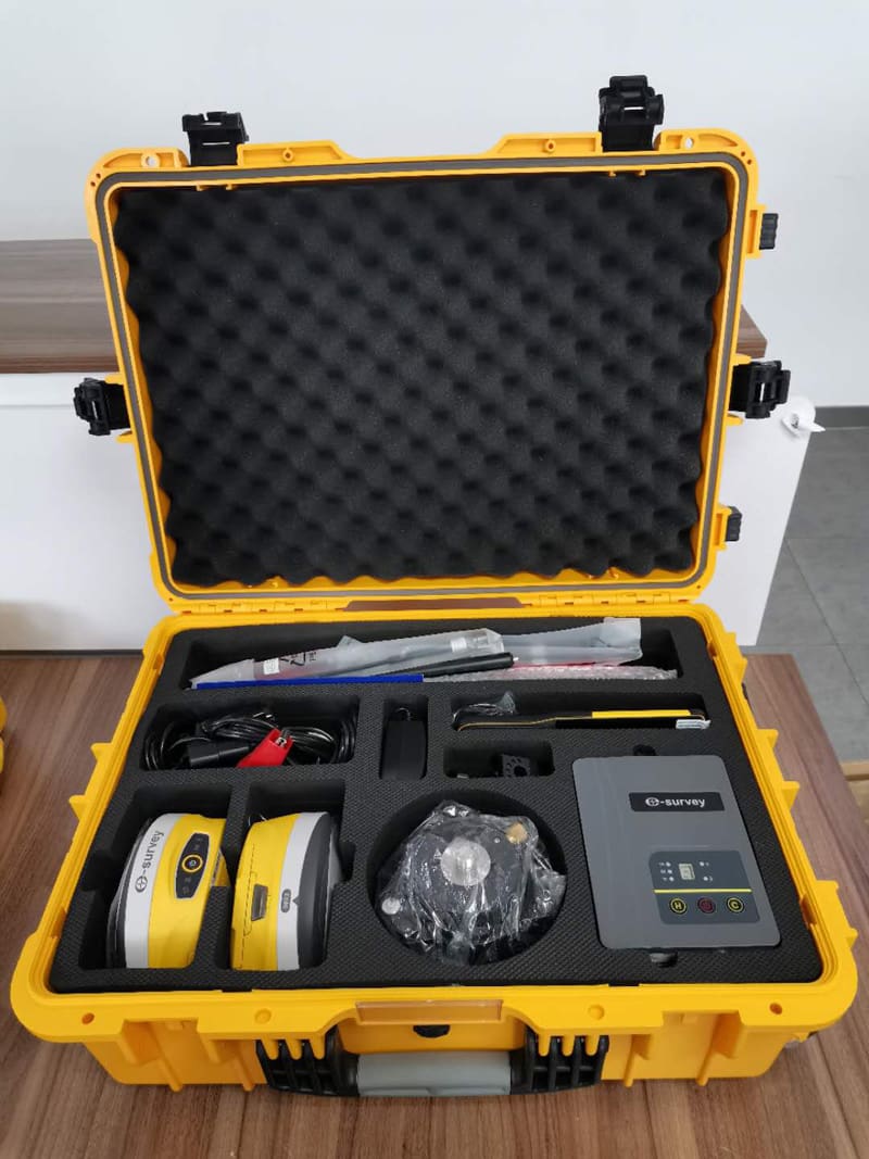
At Tec-Niche, we offer a portable, professional, and accurate antenna for all your marine, GIS, and mapping applications. We offer top-quality products at affordable prices from a quality brand in e-Survey.
e-Survey leads the surveying industry with reliable, durable, and functional equipment, and their smart antennas are no different, we are proud to carry a wide range of products from e-Survey and other leading brands with full connectivity and integration features. We invite you to speak to one of our representatives to discuss trying our products first hand. To explore more about GPS systems and how they can enhance your surveying capabilities, feel free to reach out to us for further information and assistance.